
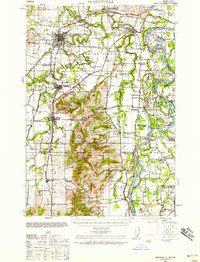
1940 Map of McMinnville
USGS Topo · Published 1940About this map
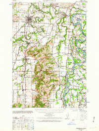
The Yamhill River and Willamette River dictate the settlement patterns of this Willamette Valley landscape as seen just before the mid-century. The river-and-rail economy is evident through the presence of the Southern Pacific and Oregon Electric RR, alongside river-based infrastructure like the Yamhill Locks and the Wheatland Ferry. Beyond the hub of McMinnville, the map reveals a dense network of rural landmarks, including the curiously named Grub College and several local schools such as Durham Sch and Prairie School. Large island and bottomland features like Grand Island and Mission Bottom show how the alluvial terrain was utilized, while topographic features like Eola Crest provide a backdrop to the productive agricultural land of Dayton Prairie. Genealogists will find interest in the scattered rural churches like the Webfoot Church and Evangelical Church that served these farming communities.
Find a feature on this map
88 named features on this map. Tap any name to fly to it.
Don’t see what you’re looking for? This feature index may not catch every label — zoom into the map to look around manually.
Map Details
Editions of this 1940 McMinnville Map
3 editions found
Other maps of this area

1915 · Rickreall
USGS Topo · 1:31,680

1915 · Eola
USGS Topo · 1:31,680

1916 · Tualatin
USGS Topo · 1:62,500

1917 · Salem
USGS Topo · 1:62,500

1923 · Mount Angel
USGS Topo · 1:62,500

1924 · Mc Minnville
USGS Topo · 1:48,000

1925 · Stayton
USGS Topo · 1:62,500

1926 · Mc Minnville
USGS Topo · 1:62,500

1939 · Tualatin
USGS Topo · 1:62,500

1940 · Tualatin
USGS Topo · 1:62,500