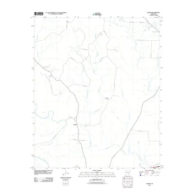
2011 Map of McNab
USGS Topo · Published 2011About this map
McNab serves as the primary settlement hub for this portion of Hempstead County, centered at the junction of the McNab Loop and Douglas St. The landscape is defined by a dense network of waterways, most notably the meandering course of Yellow Creek and the long drainages of Bridge Creek and Turkey Creek. This environment is historically oriented around agricultural access, evidenced by numerous county roads like County Rd-13 and County Rd-420 that grid the terrain. Near the center of the sheet, the Whitehouse Cemetery stands as a significant genealogical marker for local families. To the north, the small community of Camp Spring is situated near the headwaters of Bridge Creek, while the eastern boundary is traced by the flow of Sandy Bois d'Arc Creek. This survey captures the rural infrastructure of Southwest Arkansas at the start of the 2010s, showing a transition between old ferry routes like Allen's Ferry Rd and modern state thoroughfares.
Find a feature on this map
35 named features on this map. Tap any name to fly to it.
Don’t see what you’re looking for? This feature index may not catch every label — zoom into the map to look around manually.
Map Details
Editions of this 2011 McNab Map
This is the sole edition of this map. No revisions or reprints were ever made.
Other maps of this area

1950 · Red Bluff
USGS Topo · 1:24,000

1951 · Red Bluff
USGS Topo · 1:24,000

1951 · Homan
USGS Topo · 1:24,000

1951 · Mineral Springs South
USGS Topo · 1:24,000

1951 · Fulton
USGS Topo · 1:24,000

1951 · Columbus
USGS Topo · 1:24,000

1951 · Sheppard
USGS Topo · 1:24,000

1951 · Spring Hill
USGS Topo · 1:24,000

1951 · Washington
USGS Topo · 1:24,000

1951 · Mc Nab
USGS Topo · 1:24,000