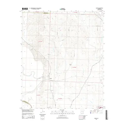
2014 Map of McNab
USGS Topo · Published 2014About this map
McNab sits at the nexus of a complex drainage network where the Little River and Yellow Creek define the landscape. This 2014 survey captures a rural Arkansas environment characterized by timbered creek bottoms and a grid of county roads. The settlement pattern is deeply connected to the winding paths of Little Bridge Cr, Bridge Cr, and Gibson Cr, which carve through the terrain of Hempstead County. Local heritage is grounded in landmarks like the Whitehouse Cem, while the northern boundary is marked by the interface of Howard Co and Hempstead Co. The map illustrates a region defined by its watercourses, from the broad reach of the Little River to the smaller tributaries of Sandy Bois d'arc Cr and Turkey Cr.
Find a feature on this map
35 named features on this map. Tap any name to fly to it.
Don’t see what you’re looking for? This feature index may not catch every label — zoom into the map to look around manually.
Map Details
Editions of this 2014 McNab Map
This is the sole edition of this map. No revisions or reprints were ever made.
Other maps of this area

1950 · Red Bluff
USGS Topo · 1:24,000

1951 · Red Bluff
USGS Topo · 1:24,000

1951 · Homan
USGS Topo · 1:24,000

1951 · Mineral Springs South
USGS Topo · 1:24,000

1951 · Fulton
USGS Topo · 1:24,000

1951 · Columbus
USGS Topo · 1:24,000

1951 · Sheppard
USGS Topo · 1:24,000

1951 · Spring Hill
USGS Topo · 1:24,000

1951 · Washington
USGS Topo · 1:24,000

1951 · Mc Nab
USGS Topo · 1:24,000