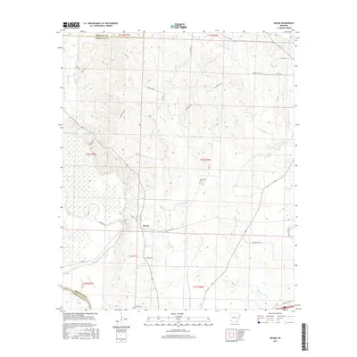
2017 Map of McNab
USGS Topo · Published 2017About this map
The settlement of McNab anchors this Hempstead County landscape, situated near the transition from rolling terrain to the swampy lowlands of Grassy Lake. This wetland area is defined by an intricate network of waterways, including Yellow Creek and the meandering Little River which forms a natural boundary to the south. The local road network, featuring names like Allen's Ferry Rd and Bottoms Rd, suggests a long history of river access and bottomland agriculture in the region.
Find a feature on this map
45 named features on this map. Tap any name to fly to it.
Don’t see what you’re looking for? This feature index may not catch every label — zoom into the map to look around manually.
Map Details
Editions of this 2017 McNab Map
This is the sole edition of this map. No revisions or reprints were ever made.
Other maps of this area

1950 · Red Bluff
USGS Topo · 1:24,000

1951 · Red Bluff
USGS Topo · 1:24,000

1951 · Homan
USGS Topo · 1:24,000

1951 · Mineral Springs South
USGS Topo · 1:24,000

1951 · Fulton
USGS Topo · 1:24,000

1951 · Columbus
USGS Topo · 1:24,000

1951 · Sheppard
USGS Topo · 1:24,000

1951 · Spring Hill
USGS Topo · 1:24,000

1951 · Washington
USGS Topo · 1:24,000

1951 · Mc Nab
USGS Topo · 1:24,000