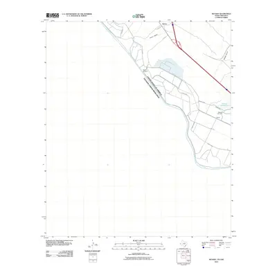
2010 Map of McNary
USGS Topo · Published 2010About this map
The Rio Grande defines the international boundary between the United States of America and Estados Unidos Mexicanos, anchoring a landscape shaped by water management and transit. In this borderland region, the settlement of McNary sits near the northern edge of the map, while Bayers Crossing marks a point along the river's path. The area is heavily defined by irrigation and drainage infrastructure essential for agriculture in this arid environment, featuring the Madden Drain, Lower Drain, and the Algodon Lateral. Local hydrology is managed through the Madden Ponding Area and Madden Lake Dam, which capture runoff from terrain features like Arroyo Diablo and Madden Arroyo. This 2010 survey illustrates the modern intersection of historic river geography and the structured engineering of the Madden Lateral and other waterways that sustain the border valley.
Find a feature on this map
17 named features on this map. Tap any name to fly to it.
Don’t see what you’re looking for? This feature index may not catch every label — zoom into the map to look around manually.
Map Details
Editions of this 2010 McNary Map
This is the sole edition of this map. No revisions or reprints were ever made.
Other maps of this area
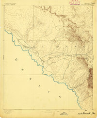
1894 · Fort Hancock
USGS Topo · 1:125,000
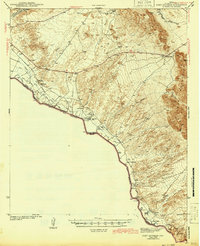
1943 · Fort Quitman
USGS Topo · 1:62,500
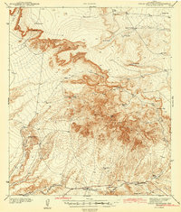
1943 · Finlay Mountains
USGS Topo · 1:62,500
1943 · Fort Hancock
USGS Topo · 1:62,500
1943 · McNary
USGS Topo · 1:62,500
1954 · Van Horn
USGS Topo · 1:250,000
1958 · Van Horn
USGS Topo · 1:250,000
1972 · Campo Grande Mountain
USGS Topo · 1:24,000
1972 · Fort Hancock
USGS Topo · 1:24,000
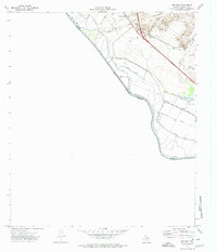
1972 · McNary
USGS Topo · 1:24,000