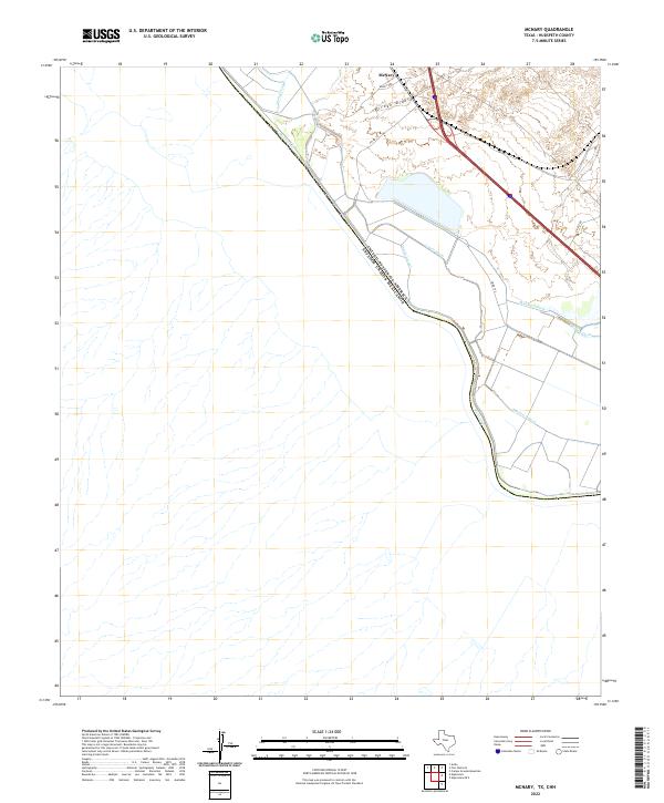
2022 Map of McNary
USGS Topo · Published 2022About this map
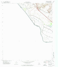
The Rio Grande serves as the international boundary on this modern survey, marking the jagged line between the United States and Mexico. The settlement of McNary sits at the northern edge of the map, serving as a hub for the intricate network of water management features that dominate this desert landscape. An engineered system of irrigation and drainage defines the land use here, visible through the paths of the Diablo Lateral, Madden Lateral, and Algodon Lateral. These channels, alongside the Wells Drain and Lower Drain, illustrate the intensive agricultural modification of the river valley. The terrain transitions from the alluvial bottomlands to the arid draws of the Arroyo Diablo, providing a clear record of how regional infrastructure like FM Rd 192 and Wilkey Rd navigates the borderlands.
Find a feature on this map
13 named features on this map. Tap any name to fly to it.
Don’t see what you’re looking for? This feature index may not catch every label — zoom into the map to look around manually.
Map Details
Editions of this 2022 McNary Map
This is the sole edition of this map. No revisions or reprints were ever made.
Other maps of this area

1894 · Fort Hancock
USGS Topo · 1:125,000

1943 · Fort Quitman
USGS Topo · 1:62,500

1943 · Finlay Mountains
USGS Topo · 1:62,500

1943 · Fort Hancock
USGS Topo · 1:62,500
1943 · McNary
USGS Topo · 1:62,500

1954 · Van Horn
USGS Topo · 1:250,000

1958 · Van Horn
USGS Topo · 1:250,000
1972 · Campo Grande Mountain
USGS Topo · 1:24,000
1972 · Fort Hancock
USGS Topo · 1:24,000
1972 · McNary
USGS Topo · 1:24,000