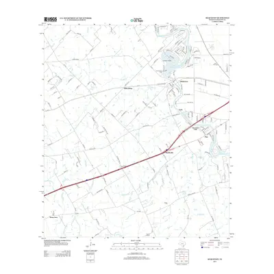
2013 Map of McQueeney
USGS Topo · Published 2013About this map
McQueeney and its surrounding Guadalupe County landscape are defined by the winding course of the Guadalupe River, which widens significantly to form Lake McQueeney and Lake Placid. The residential development on Treasure Island and the presence of the Lake Breeze Ski Lodge reflect the area's mid-century shift toward water-based recreation and lakeside living. Transportation remains a primary structural element, with the corridor of Interstate 10 passing through Muehlsville and the older FM-78 connecting Hilda Siding to the established settlements.
Find a feature on this map
149 named features on this map. Tap any name to fly to it.
Don’t see what you’re looking for? This feature index may not catch every label — zoom into the map to look around manually.
Map Details
Editions of this 2013 McQueeney Map
This is the sole edition of this map. No revisions or reprints were ever made.
Other maps of this area

1911 · San Marcos
USGS Topo · 1:125,000

1919 · San Marcos
USGS Topo · 1:125,000

1920 · Smiley
USGS Topo · 1:125,000

1924 · New Braunfels No 4
USGS Topo · 1:48,000

1924 · San Marcos 3-c
USGS Topo · 1:48,000

1925 · New Braunfels No 1
USGS Topo · 1:48,000

1927 · New Braunfels
USGS Topo · 1:62,500

1930 · Seguin
USGS Topo · 1:62,500

1942 · Dewville
USGS Topo · 1:62,500

1953 · Seguin
USGS Topo · 1:250,000