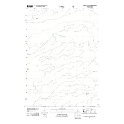
2011 Map of McRenolds Reservoir
USGS Topo · Published 2011About this map
McRenolds Reservoir sits at the center of this drainage network on the Idaho-Wyoming border, where numerous seasonal and perennial streams carve through the high country. The landscape is defined by a dense system of waterways including Bitch Creek to the north and the winding paths of Bull Elk Creek and North Badger Creek further south. These drainages are separated by significant landforms like Hovermale Ridge and the distinct depression of Rock Hollow.
Find a feature on this map
25 named features on this map. Tap any name to fly to it.
Don’t see what you’re looking for? This feature index may not catch every label — zoom into the map to look around manually.
Map Details
Editions of this 2011 McRenolds Reservoir Map
This is the sole edition of this map. No revisions or reprints were ever made.
Other maps of this area

1886 · Shoshone
USGS Topo · 1:125,000

1888 · Shoshone
USGS Topo · 1:125,000

1895 · Shoshone
USGS Topo · 1:125,000

1899 · Grand Teton
USGS Topo · 1:125,000

1901 · Shoshone
USGS Topo · 1:125,000

1901 · Grand Teton
USGS Topo · 1:125,000

1908 · Shoshone
USGS Topo · 1:125,000

1911 · Shoshone
USGS Topo · 1:125,000

1955 · Ashton
USGS Topo · 1:250,000

1955 · Driggs
USGS Topo · 1:250,000