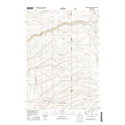
2013 Map of McRenolds Reservoir
USGS Topo · Published 2013About this map
Targhee National Forest encompasses the vast majority of this high-altitude landscape along the Idaho-Wyoming border, where the terrain is defined by an intricate network of creeks and drainage basins. The namesake McRenolds Reservoir sits centrally, serving as a focal point for the surrounding watershed that includes Dry Cr and Horse Cr. The area is characterized by steep elevation changes, with named landforms like Hovermale Ridge and Pole Canyon breaking the surface of the plateau.
Find a feature on this map
42 named features on this map. Tap any name to fly to it.
Don’t see what you’re looking for? This feature index may not catch every label — zoom into the map to look around manually.
Map Details
Editions of this 2013 McRenolds Reservoir Map
This is the sole edition of this map. No revisions or reprints were ever made.
Other maps of this area

1886 · Shoshone
USGS Topo · 1:125,000

1888 · Shoshone
USGS Topo · 1:125,000

1895 · Shoshone
USGS Topo · 1:125,000

1899 · Grand Teton
USGS Topo · 1:125,000

1901 · Shoshone
USGS Topo · 1:125,000

1901 · Grand Teton
USGS Topo · 1:125,000

1908 · Shoshone
USGS Topo · 1:125,000

1911 · Shoshone
USGS Topo · 1:125,000

1955 · Ashton
USGS Topo · 1:250,000

1955 · Driggs
USGS Topo · 1:250,000