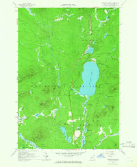
1964 Map of Meacham Lake
USGS Topo · Published 1966About this map
Adirondack State Park dominates this mid-1960s landscape, centered on the significant waters of Meacham Lake. The area's water network is intricately detailed, showing the East Branch St Regis River flowing northward and the Osgood River tracking through the south near the small settlement of McColloms. Topographical detail highlights prominent peaks like Sugarloaf Mountain, Rice Mountain, and Twin Mountains, which define the northern forest terrain. This survey reflects the region's role as a managed wilderness and recreational hub, noting multiple campgrounds and picnic areas alongside a Gaging Station and an old Mine near the Dugway area. Local transit is limited to corridors like Dugway Road, which snakes through the eastern portion of the quadrangle between Clear Pond and Mountain Ponds.
Find a feature on this map
53 named features on this map. Tap any name to fly to it.
Don’t see what you’re looking for? This feature index may not catch every label — zoom into the map to look around manually.
Map Details
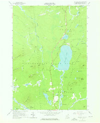
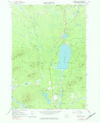
Editions of this 1964 Meacham Lake Map
Other maps of this area

1902 · Saranac
USGS Topo · 1:62,500

1904 · Saranac
USGS Topo · 1:62,500

1905 · Saint Regis
USGS Topo · 1:62,500

1906 · Loon Lake
USGS Topo · 1:62,500

1908 · Loon Lake
USGS Topo · 1:62,500

1921 · Santa Clara
USGS Topo · 1:62,500

1923 · Santa Clara
USGS Topo · 1:62,500

1948 · Ogdensburg
USGS Topo · 1:250,000

1951 · Ogdensburg
USGS Topo · 1:250,000

1953 · Ogdensburg
USGS Topo · 1:250,000