Loading...
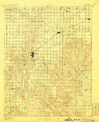
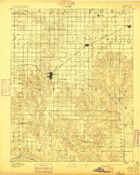
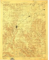
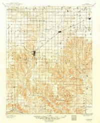
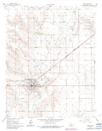
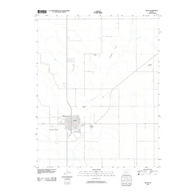
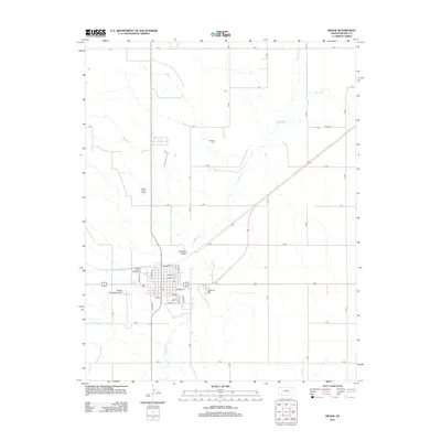
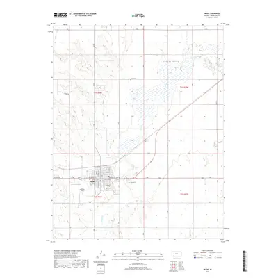
Loading map...1892 Map of Meade
USGS Topo · Published 1906About this map
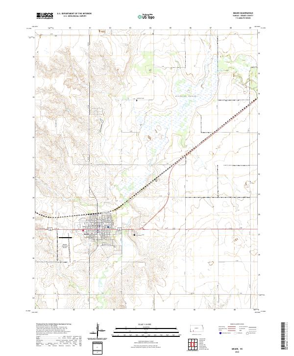
The settlement of Meade serves as the focal point of this late-nineteenth-century landscape, positioned where the Chicago Rock Island and Pacific Railroad cuts a diagonal path across the High Plains. The region's early development is marked by a network of small outposts and post offices like Cash City, Fowler, and Jasper, many of which were tied to the seasonal flows of Crooked Creek and the Cimarron River.
Find a feature on this map
35 named features on this map. Tap any name to fly to it.
Don’t see what you’re looking for? This feature index may not catch every label — zoom into the map to look around manually.
Map Details
Date Portrayed1892
Date Published1906
PublisherU.S. Geological Survey
Map TypeTopographic
Scale1:125,000
Physical Dimensions15.88 x 19.47 inches
Editions of this 1892 Meade Map
5 editions found

Historical Maps of Meade Through Time
7 maps found
Featured Locations
Source Details
SourceU.S. Geological Survey
CopyrightPublic Domain