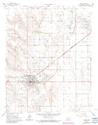
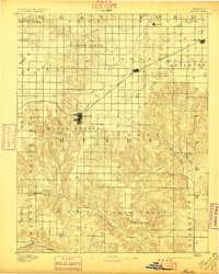
1892 Map of Meade
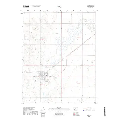
USGS Topo · Published 1921About this map
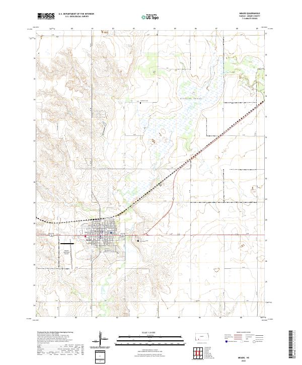
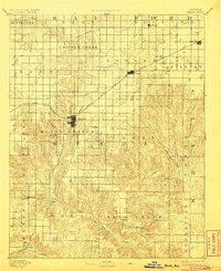
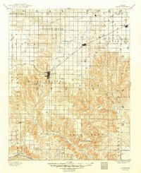
Meade serves as the primary hub of this High Plains landscape, situated at the junction of developing ranchlands and the expanding steel rails. The arrival of the Chicago Rock Island and Pacific Railroad reshaped the region's economy during the late nineteenth century, connecting isolated prairie settlements like Fowler and Minneola to larger markets. While the railroad dominates the northern half of the territory, the southern reaches remain defined by the winding course of the Cimarron River and several remote outposts including Odee and Shorts. The map reveals a transition from the organized grid of established townships like Meade Center and Eden to the more dissected terrain around Sand Creek and the southern breaks. Small, early communities such as Cash City and Jasper appear during their initial growth, offering a detailed look at the distribution of frontier post offices and water sources that sustained early homesteaders.
Find a feature on this map
38 named features on this map. Tap any name to fly to it.
Don’t see what you’re looking for? This feature index may not catch every label — zoom into the map to look around manually.
Map Details
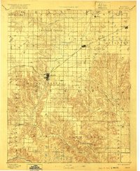
Editions of this 1892 Meade Map
5 editions found

Historical Maps of Meade Through Time
7 maps found