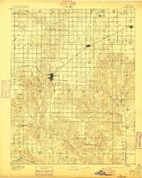
1892 Map of Meade
USGS Topo · Published 1897About this map
Meade serves as the central hub of this High Plains landscape, situated at the junction where Crooked Creek turns south through the township of Meade Center. The arrival of the Chicago Rock Island and Pacific Railroad significantly influenced the settlement pattern of the 1890s, connecting the nascent towns of Fowler and Minneola across the northern prairie. To the south, the terrain breaks into more complex drainage systems as numerous tributaries, including Sand Creek and Johnson Creek, feed into the lower reaches of the basin.
Find a feature on this map
37 named features on this map. Tap any name to fly to it.
Don’t see what you’re looking for? This feature index may not catch every label — zoom into the map to look around manually.
Map Details
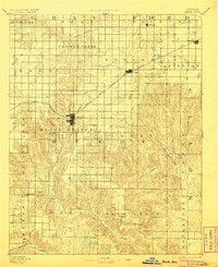
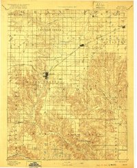
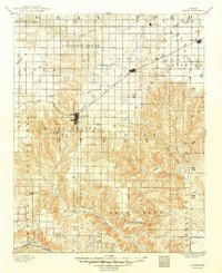
Editions of this 1892 Meade Map
5 editions found
Other maps of this area

1892 · Meade
USGS Topo · 1:125,000

1892 · Dodge
USGS Topo · 1:125,000

1892 · Spearville
USGS Topo · 1:125,000

1894 · Spearville
USGS Topo · 1:125,000

1896 · Garden
USGS Topo · 1:125,000

1896 · Ashland
USGS Topo · 1:125,000

1954 · Perryton
USGS Topo · 1:250,000

1955 · Woodward
USGS Topo · 1:250,000

1955 · Pratt
USGS Topo · 1:250,000

1955 · Dodge City
USGS Topo · 1:250,000