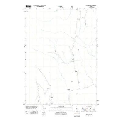
2011 Map of Meade Peak
USGS Topo · Published 2011About this map
Meade Peak and Red Mountain anchor this high-altitude landscape in the Caribou National Forest area as it appeared in 2011. The terrain is defined by a series of north-south running drainages, most notably Beaver Creek and Crow Creek to the north, and the meandering Montpelier Creek to the south. Smaller watercourses like Whiskey Creek and Little Beaver Creek cut through the high ridges, creating a complex network of canyons and draws.
Find a feature on this map
22 named features on this map. Tap any name to fly to it.
Don’t see what you’re looking for? This feature index may not catch every label — zoom into the map to look around manually.
Map Details
Editions of this 2011 Meade Peak Map
This is the sole edition of this map. No revisions or reprints were ever made.
Other maps of this area

1909 · Montpelier
USGS Topo · 1:125,000

1911 · Montpelier
USGS Topo · 1:125,000

1911 · Slug Creek
USGS Topo · 1:62,500

1915 · Crow Creek
USGS Topo · 1:62,500

1949 · Snowdrift Mountain
USGS Topo · 1:24,000
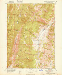
1951 · Snowdrift Mountain
USGS Topo · 1:24,000

1955 · Preston
USGS Topo · 1:250,000

1958 · Preston
USGS Topo · 1:250,000

1962 · Preston
USGS Topo · 1:250,000

1967 · Montpelier
USGS Topo · 1:24,000