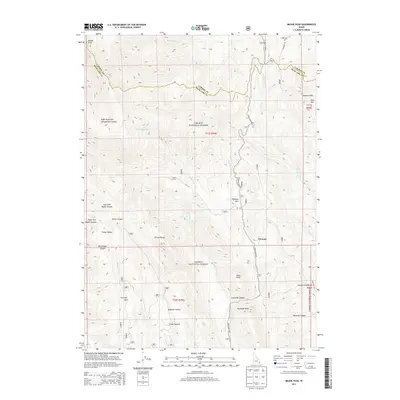
2013 Map of Meade Peak
USGS Topo · Published 2013About this map
Meade Peak dominates the northern reaches of the Preuss Range on this 2013 survey of the Idaho high country. The landscape is defined by the high-elevation divide between Caribou Co and Bear Lake Co, with a network of canyons and hollows branching toward the valleys below. Evidence of early settlement and land use persists in named locations such as Fox Flat and the evocative Giveout, situated along the winding course of Crow Creek.
Find a feature on this map
38 named features on this map. Tap any name to fly to it.
Don’t see what you’re looking for? This feature index may not catch every label — zoom into the map to look around manually.
Map Details
Editions of this 2013 Meade Peak Map
This is the sole edition of this map. No revisions or reprints were ever made.
Other maps of this area

1909 · Montpelier
USGS Topo · 1:125,000

1911 · Montpelier
USGS Topo · 1:125,000

1911 · Slug Creek
USGS Topo · 1:62,500

1915 · Crow Creek
USGS Topo · 1:62,500

1949 · Snowdrift Mountain
USGS Topo · 1:24,000
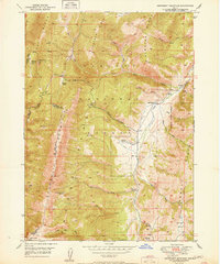
1951 · Snowdrift Mountain
USGS Topo · 1:24,000

1955 · Preston
USGS Topo · 1:250,000

1958 · Preston
USGS Topo · 1:250,000

1962 · Preston
USGS Topo · 1:250,000

1967 · Montpelier
USGS Topo · 1:24,000