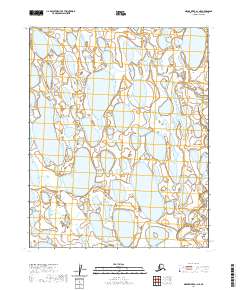
2020 Map of Meade River A-1 NE
USGS Topo · Published 2020About this map
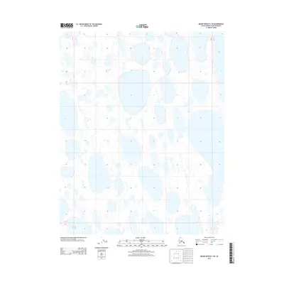
Topagoruk River winds through the southeastern corner of this North Slope landscape, a region defined by an intricate network of thermokarst lakes and wet tundra. Large, elongated water bodies like Paddle Lake and Citellus Lake dominate the geography, their orientation reflecting the prevailing winds and permafrost processes of the Arctic coastal plain. The map reveals the immense scale of this undisturbed hydrological system, where the land and water are nearly inseparable. Surveyed during the modern era, the sheet provides a precise accounting of the shifting shorelines and drainage patterns across the townships of t10n r17w, t10n r16w, t9n r17w, and t9n r16w.
Find a feature on this map
7 named features on this map. Tap any name to fly to it.
Don’t see what you’re looking for? This feature index may not catch every label — zoom into the map to look around manually.
Map Details
Editions of this 2020 Meade River A-1 NE Map
This is the sole edition of this map. No revisions or reprints were ever made.
Other maps of this area

1951 · Meade River
USGS Topo · 1:250,000

1951 · Teshekpuk
USGS Topo · 1:250,000

1955 · Teshekpuk
USGS Topo · 1:250,000
1955 · Teshekpuk A-5
USGS Topo · 1:63,360
1955 · Teshekpuk B-5
USGS Topo · 1:63,360

1955 · Meade River
USGS Topo · 1:250,000

1955 · Meade River B-1
USGS Topo · 1:63,360
1955 · Meade River A-1
USGS Topo · 1:63,360

1964 · Teshekpuk
USGS Topo · 1:250,000
2013 · Meade River B-1 SW
USGS Topo · 1:25,000