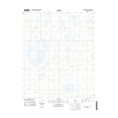
2015 Map of Meade River A-2 SE
USGS Topo · Published 2015About this map
Usuktuk River winds through this expanse of the North Slope, weaving through a dense network of thaw lakes and ponds characteristic of the Arctic coastal plain. Located within the northern reaches of the t9n r20w and t9n r19w townships, the landscape is defined by low-relief tundra where subtle elevation changes of only a few feet dictate the flow of water across the permafrost. The survey meticulously documents the intricate hydrography of the region, showing how the river channel interacts with the surrounding wetland complex. This 2015 data reflects a pristine environment where the lack of human infrastructure or established roads emphasizes the remote and undisturbed nature of the Alaskan wilderness near the Beaufort Sea coast.
Find a feature on this map
5 named features on this map. Tap any name to fly to it.
Don’t see what you’re looking for? This feature index may not catch every label — zoom into the map to look around manually.
Map Details
Editions of this 2015 Meade River A-2 SE Map
This is the sole edition of this map. No revisions or reprints were ever made.
Other maps of this area

1951 · Meade River
USGS Topo · 1:250,000

1951 · Lookout Ridge
USGS Topo · 1:250,000

1955 · Meade River
USGS Topo · 1:250,000

1955 · Meade River A-2
USGS Topo · 1:63,360
1955 · Meade River A-1
USGS Topo · 1:63,360

1956 · Lookout Ridge
USGS Topo · 1:250,000
1984 · Lookout Ridge D-1
USGS Topo · 1:63,360
1984 · Lookout Ridge D-2
USGS Topo · 1:63,360
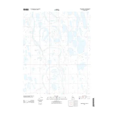
2013 · Meade River A-2 NW
USGS Topo · 1:25,000
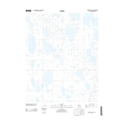
2013 · Meade River A-2 NE
USGS Topo · 1:25,000