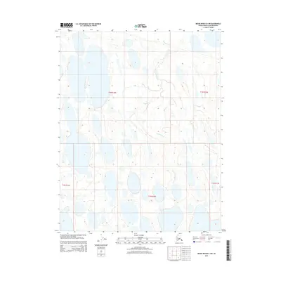
2015 Map of Meade River B-1 NW
USGS Topo · Published 2015About this map
Okpiksak River meanders across this Arctic landscape, carving a serpentine path through a vast network of thermokarst lakes and ponds characteristic of the North Slope. This 2015 U.S. Geological Survey representation documents the complex hydrology of the region, where the low relief of the coastal plain creates an intricate mosaic of standing water and saturated tundra. The map's administrative overlays, including t13n r18w and t12n r18w, delineate the Public Land Survey System grid across a wilderness largely defined by its natural drainage patterns rather than human infrastructure. For those studying Arctic geomorphology or the historical preservation of the North Slope, this sheet provides a high-resolution look at the shifting aquatic environment of the Okpiksak River basin.
Find a feature on this map
6 named features on this map. Tap any name to fly to it.
Don’t see what you’re looking for? This feature index may not catch every label — zoom into the map to look around manually.
Map Details
Editions of this 2015 Meade River B-1 NW Map
This is the sole edition of this map. No revisions or reprints were ever made.
Other maps of this area

1951 · Meade River
USGS Topo · 1:250,000

1955 · Meade River
USGS Topo · 1:250,000

1955 · Meade River B-1
USGS Topo · 1:63,360

1955 · Meade River B-2
USGS Topo · 1:63,360

1955 · Meade River C-1
USGS Topo · 1:63,360
1955 · Meade River C-2
USGS Topo · 1:63,360
2013 · Meade River B-1 SW
USGS Topo · 1:25,000
2013 · Meade River B-2 SE
USGS Topo · 1:25,000
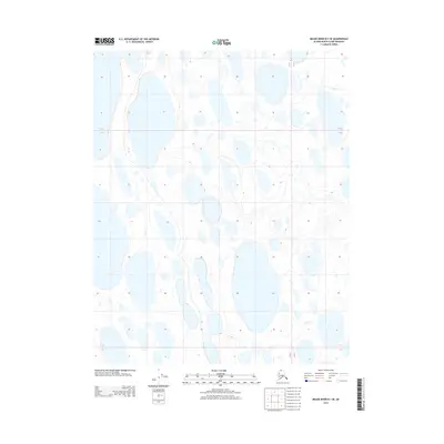
2013 · Meade River B-1 SE
USGS Topo · 1:25,000
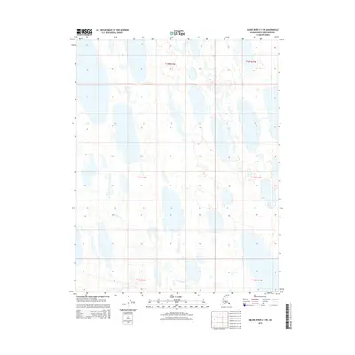
2015 · Meade River C-1 SW
USGS Topo · 1:25,000