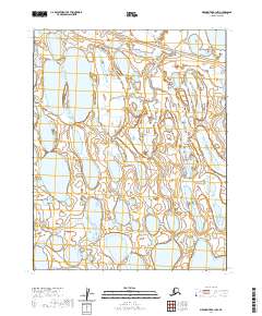
2020 Map of Meade River B-1 NW
USGS Topo · Published 2020About this map
Okpiksak River winds through the expansive tundra of the North Slope of Alaska, defining the primary drainage pattern of this Arctic coastal plain landscape. This 2020 USGS survey documents a region dominated by a complex network of thaw lakes and wetlands, where the hydrologic structure is dictated by the permafrost-driven terrain. The mapping reflects the intricate Public Land Survey System (PLSS) grid of North Slope Borough, illustrating townships such as t13n r18w and t12n r18w. The absence of roads or permanent settlements underscores the remote character of this wilderness area, making this a critical resource for environmental monitoring and understanding the vast hydrological systems of northernmost Alaska.
Find a feature on this map
6 named features on this map. Tap any name to fly to it.
Don’t see what you’re looking for? This feature index may not catch every label — zoom into the map to look around manually.
Map Details
Editions of this 2020 Meade River B-1 NW Map
This is the sole edition of this map. No revisions or reprints were ever made.
Other maps of this area

1951 · Meade River
USGS Topo · 1:250,000

1955 · Meade River
USGS Topo · 1:250,000

1955 · Meade River B-1
USGS Topo · 1:63,360

1955 · Meade River B-2
USGS Topo · 1:63,360

1955 · Meade River C-1
USGS Topo · 1:63,360
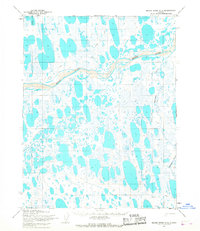
1955 · Meade River C-2
USGS Topo · 1:63,360
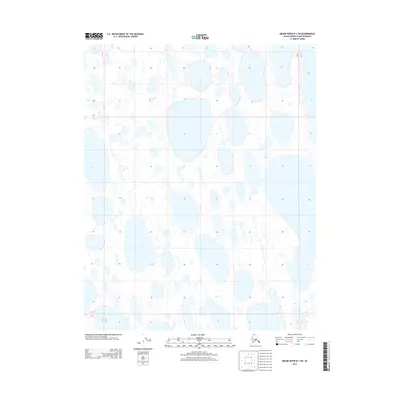
2013 · Meade River B-1 SW
USGS Topo · 1:25,000
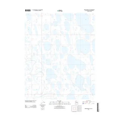
2013 · Meade River B-2 SE
USGS Topo · 1:25,000
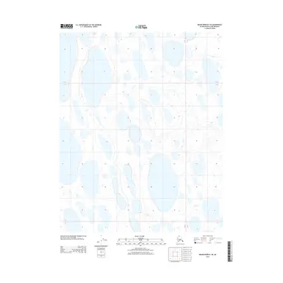
2013 · Meade River B-1 SE
USGS Topo · 1:25,000
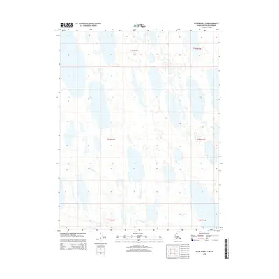
2015 · Meade River C-1 SW
USGS Topo · 1:25,000