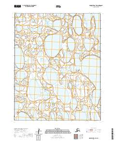
2020 Map of Meade River B-1 SW
USGS Topo · Published 2020About this map
The North Slope Borough reveals a complex network of thaw lakes and wetlands in this 2020 landscape survey. The terrain is organized by the Public Land Survey System, featuring divisions like T12n R18w and T11n R18w. This remote section of the Arctic coastal plain is characterized by elongated water bodies and marshy depressions, reflecting the permafrost-driven hydrology of the region. While devoid of permanent human settlements or infrastructure, the map serves as a detailed spatial record of the township and range boundaries, including T10n R18w and T11n R19W, which are critical for land management and environmental monitoring in the Alaskan tundra.
Find a feature on this map
9 named features on this map. Tap any name to fly to it.
Don’t see what you’re looking for? This feature index may not catch every label — zoom into the map to look around manually.
Map Details
Editions of this 2020 Meade River B-1 SW Map
This is the sole edition of this map. No revisions or reprints were ever made.
Other maps of this area

1951 · Meade River
USGS Topo · 1:250,000

1955 · Meade River
USGS Topo · 1:250,000

1955 · Meade River B-1
USGS Topo · 1:63,360

1955 · Meade River A-2
USGS Topo · 1:63,360

1955 · Meade River B-2
USGS Topo · 1:63,360
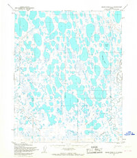
1955 · Meade River A-1
USGS Topo · 1:63,360
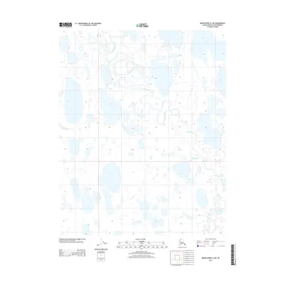
2013 · Meade River A-2 NE
USGS Topo · 1:25,000
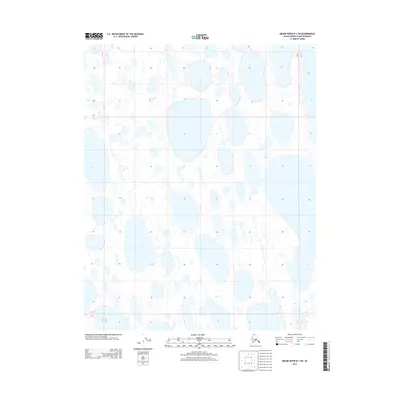
2013 · Meade River B-1 SW
USGS Topo · 1:25,000
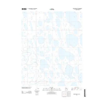
2013 · Meade River B-2 SE
USGS Topo · 1:25,000
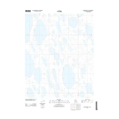
2013 · Meade River B-1 SE
USGS Topo · 1:25,000