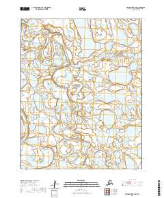
2020 Map of Meade River B-2 NW
USGS Topo · Published 2020About this map
Meade River and the Usuktuk River wind through this Arctic landscape, where the shifting hydrology of the North Slope is meticulously documented. The terrain is characterized by a dense network of thaw lakes and wetlands, typical of the coastal plain's permafrost-influenced geography. These waterways have long served as vital corridors for subsistence and travel in the region, and this 2020 record captures their exact meandering paths across the t13n r21w and t12n r21w township lines. The absence of roads or permanent structures underscores the isolation of this reach of the North Slope Borough, where the natural drainage patterns of the rivers remain the primary geographic features.
Find a feature on this map
6 named features on this map. Tap any name to fly to it.
Don’t see what you’re looking for? This feature index may not catch every label — zoom into the map to look around manually.
Map Details
Editions of this 2020 Meade River B-2 NW Map
This is the sole edition of this map. No revisions or reprints were ever made.
Other maps of this area

1951 · Meade River
USGS Topo · 1:250,000

1955 · Meade River
USGS Topo · 1:250,000

1955 · Meade River B-3
USGS Topo · 1:63,360

1955 · Meade River B-2
USGS Topo · 1:63,360

1955 · Meade River C-3
USGS Topo · 1:63,360
1955 · Meade River C-2
USGS Topo · 1:63,360
2013 · Meade River C-3 SE
USGS Topo · 1:25,000
2013 · Meade River B-2 SE
USGS Topo · 1:25,000
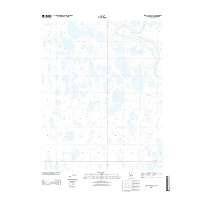
2013 · Meade River B-3 SE
USGS Topo · 1:25,000
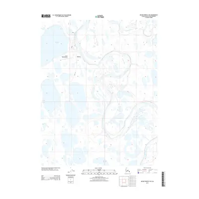
2013 · Meade River B-3 NE
USGS Topo · 1:25,000