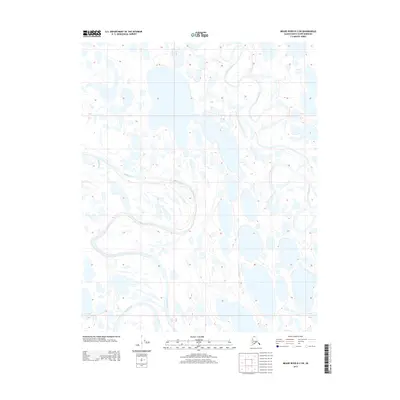
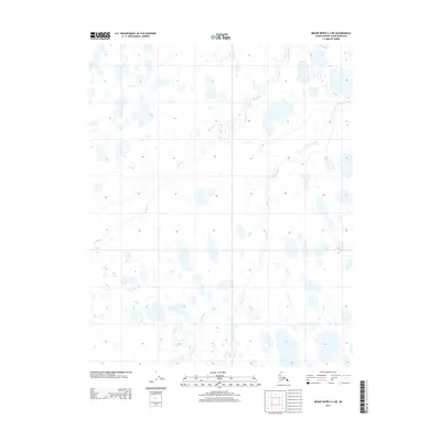
2013 Map of Meade River B-2 SW
USGS Topo · Published 2013About this map
Meade River meanders across this northern landscape, forming intricate oxbows and loops that define the hydrology of this North Slope region. The drainage network is characterized by the convergence of the Usuktuk River from the east and the smaller Pikroka Cr from the west, creating a complex system of active and relic river channels. This 2013 survey illustrates a wilderness shaped by water, where hundreds of small, unnamed thaw lakes dot the tundra between the primary riverbanks. The survey provides a clear look at the shifting nature of these Arctic waterways, showing how the Meade River has migrated over time, leaving behind numerous scars and abandoned meanders that dominate the surrounding terrain.
Find a feature on this map
6 named features on this map. Tap any name to fly to it.
Don’t see what you’re looking for? This feature index may not catch every label — zoom into the map to look around manually.
Map Details
Editions of this 2013 Meade River B-2 SW Map
This is the sole edition of this map. No revisions or reprints were ever made.
Other maps of this area

1951 · Meade River
USGS Topo · 1:250,000

1955 · Meade River
USGS Topo · 1:250,000

1955 · Meade River A-3
USGS Topo · 1:63,360

1955 · Meade River B-3
USGS Topo · 1:63,360

1955 · Meade River A-2
USGS Topo · 1:63,360

1955 · Meade River B-2
USGS Topo · 1:63,360
2013 · Meade River A-2 NW
USGS Topo · 1:25,000
2013 · Meade River A-2 NE
USGS Topo · 1:25,000
2013 · Meade River B-2 SE
USGS Topo · 1:25,000
2013 · Meade River A-3 NE
USGS Topo · 1:25,000