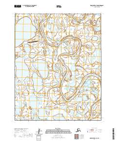
2020 Map of Meade River B-3 NE
USGS Topo · Published 2020About this map
Atqasuk serves as the focal point of this Arctic landscape, situated along a sharp bend of the Meade River. The settlement is defined by a modest grid of thoroughfares including Nayukok Street, Eriksook Street, and Tikluk Street, which connect the community to the Atqasuk Edward Burnell Sr Memorial Airport. The map documents the intricate hydrography of the North Slope, where the Meade River is joined by the Usuktuk River and smaller tributaries like Ikmakrak Cr.
Find a feature on this map
15 named features on this map. Tap any name to fly to it.
Don’t see what you’re looking for? This feature index may not catch every label — zoom into the map to look around manually.
Map Details
Editions of this 2020 Meade River B-3 NE Map
This is the sole edition of this map. No revisions or reprints were ever made.
Other maps of this area

1951 · Meade River
USGS Topo · 1:250,000

1955 · Meade River
USGS Topo · 1:250,000

1955 · Meade River B-3
USGS Topo · 1:63,360

1955 · Meade River B-2
USGS Topo · 1:63,360

1955 · Meade River C-3
USGS Topo · 1:63,360
1955 · Meade River C-2
USGS Topo · 1:63,360
2013 · Meade River C-3 SE
USGS Topo · 1:25,000
2013 · Meade River B-3 NW
USGS Topo · 1:25,000
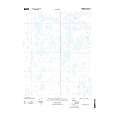
2013 · Meade River B-3 SE
USGS Topo · 1:25,000
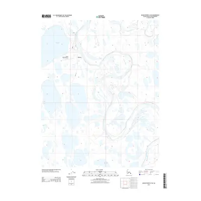
2013 · Meade River B-3 NE
USGS Topo · 1:25,000