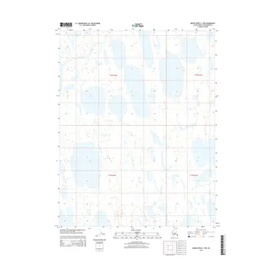
2015 Map of Meade River C-1 NW
USGS Topo · Published 2015About this map
Meade River defines the western edge of this Arctic landscape, cutting a winding path through the North Slope's complex network of thermokarst lakes and wetlands. This 2015 survey, produced from Spot imagery and National Hydrography Dataset data, illustrates a terrain dominated by water and shifting permafrost patterns rather than human infrastructure. The lack of roads or established settlements across the townships of t16n r18w and t15n r18w underscores the region's character as a modern wilderness. Researchers and environmental historians can examine the precise shapes and orientations of these myriad lakes, which serve as indicators of the specialized geology and hydrology within the Alaska-North Slope Borough.
Find a feature on this map
5 named features on this map. Tap any name to fly to it.
Don’t see what you’re looking for? This feature index may not catch every label — zoom into the map to look around manually.
Map Details
Editions of this 2015 Meade River C-1 NW Map
This is the sole edition of this map. No revisions or reprints were ever made.
Other maps of this area

1951 · Meade River
USGS Topo · 1:250,000

1955 · Meade River
USGS Topo · 1:250,000

1955 · Meade River C-1
USGS Topo · 1:63,360

1955 · Meade River D-2
USGS Topo · 1:63,360
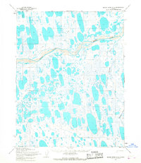
1955 · Meade River C-2
USGS Topo · 1:63,360
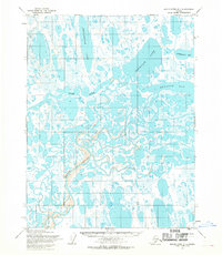
1955 · Meade River D-1
USGS Topo · 1:63,360
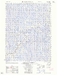
1962 · Meade River D-2
USGS Topo · 1:50,000
2015 · Meade River D-1 SW
USGS Topo · 1:25,000
2015 · Meade River C-1 SW
USGS Topo · 1:25,000
2015 · Meade River C-2 SE
USGS Topo · 1:25,000