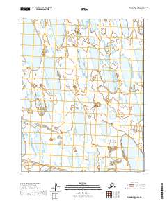
2020 Map of Meade River C-1 SW
USGS Topo · Published 2020About this map
Okpiksak River winds across this Arctic landscape within the Meade River quadrangle of Alaska's North Slope Borough. This remote section of the North American tundra is defined by a dense mosaic of thaw lakes and wetlands, illustrating the dynamic hydrology of the region's permafrost environment. The map details the complex drainage patterns and numerous unnamed water bodies that characterize this territory north of the Arctic Circle. Organized under the Public Land Survey System, the area is divided into several townships including t15n r18w and t14n r17w, reflecting the systematic grid used to manage these expansive federal and state lands.
Find a feature on this map
7 named features on this map. Tap any name to fly to it.
Don’t see what you’re looking for? This feature index may not catch every label — zoom into the map to look around manually.
Map Details
Editions of this 2020 Meade River C-1 SW Map
This is the sole edition of this map. No revisions or reprints were ever made.
Other maps of this area

1951 · Meade River
USGS Topo · 1:250,000

1955 · Meade River
USGS Topo · 1:250,000

1955 · Meade River B-1
USGS Topo · 1:63,360

1955 · Meade River B-2
USGS Topo · 1:63,360

1955 · Meade River C-1
USGS Topo · 1:63,360
1955 · Meade River C-2
USGS Topo · 1:63,360
2015 · Meade River C-1 SW
USGS Topo · 1:25,000
2015 · Meade River B-1 NE
USGS Topo · 1:25,000
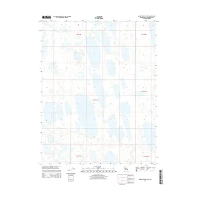
2015 · Meade River C-2 SE
USGS Topo · 1:25,000
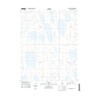
2015 · Meade River C-1 NW
USGS Topo · 1:25,000