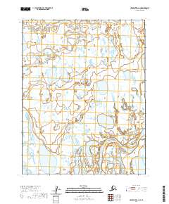
2020 Map of Meade River C-3 NE
USGS Topo · Published 2020About this map
The Inaru River meanders across the northern reaches of this North Slope landscape, carving a serpentine path through a complex network of thaw lakes and wetlands typical of the Arctic coastal plain. In the southern portion of the sheet, the Meade River flows through a broad corridor, its large oxbow loops and dynamic channel shifts illustrating the fluid nature of this permafrost-influenced terrain. These watercourses were historically vital as travel corridors and subsistence resources for local populations. The landscape is primarily defined by its hydrography, with hundreds of unnamed water bodies dotting the tundra between the major river systems. This 2020 topographic record highlights the intricate hydrological patterns of the Alaskan wilderness, showing the expansive drainages of the Meade River and Inaru River before they reach the Beaufort Sea.
Find a feature on this map
6 named features on this map. Tap any name to fly to it.
Don’t see what you’re looking for? This feature index may not catch every label — zoom into the map to look around manually.
Map Details
Editions of this 2020 Meade River C-3 NE Map
This is the sole edition of this map. No revisions or reprints were ever made.
Other maps of this area

1951 · Meade River
USGS Topo · 1:250,000

1955 · Meade River
USGS Topo · 1:250,000

1955 · Meade River D-2
USGS Topo · 1:63,360

1955 · Meade River C-3
USGS Topo · 1:63,360

1955 · Meade River D-3
USGS Topo · 1:63,360
1955 · Meade River C-2
USGS Topo · 1:63,360
1962 · Meade River D-3
USGS Topo · 1:50,000
1962 · Meade River D-2
USGS Topo · 1:50,000
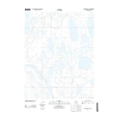
2013 · Meade River C-3 SE
USGS Topo · 1:25,000
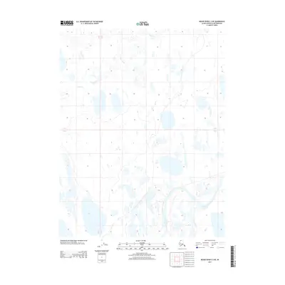
2013 · Meade River C-3 NE
USGS Topo · 1:25,000