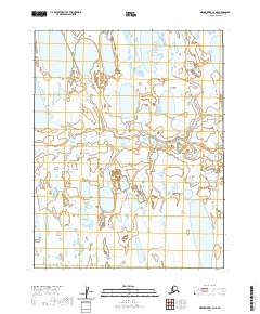
2020 Map of Meade River C-4 NE
USGS Topo · Published 2020About this map
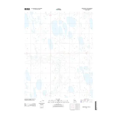
The Inaru River winds across this Arctic landscape, creating a complex network of meanders and oxbow lakes within the North Slope's permafrost-dominated terrain. This 2020 topographic study of the Meade River C-4 NE quadrangle reveals a land almost entirely defined by water, where thermokarst lakes and ponded wetlands dominate the surface between the river's shifting channels. The absence of settlements or named landmarks highlights the extremity of this environment, where the shifting hydrology of the Inaru River remains the primary geographical feature across the township lines of T16N R24W and T15N R23W.
Find a feature on this map
5 named features on this map. Tap any name to fly to it.
Don’t see what you’re looking for? This feature index may not catch every label — zoom into the map to look around manually.
Map Details
Editions of this 2020 Meade River C-4 NE Map
This is the sole edition of this map. No revisions or reprints were ever made.
Other maps of this area

1951 · Meade River
USGS Topo · 1:250,000

1955 · Meade River
USGS Topo · 1:250,000

1955 · Meade River C-3
USGS Topo · 1:63,360
1955 · Meade River D-4
USGS Topo · 1:63,360

1955 · Meade River C-4
USGS Topo · 1:63,360

1955 · Meade River D-3
USGS Topo · 1:63,360
1962 · Meade River C-4
USGS Topo · 1:50,000
1962 · Meade River D-3
USGS Topo · 1:50,000
1962 · Meade River D-4
USGS Topo · 1:50,000
2013 · Meade River C-3 NW
USGS Topo · 1:25,000