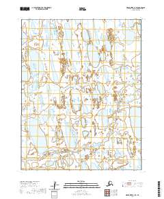
2020 Map of Meade River C-4 SE
USGS Topo · Published 2020About this map
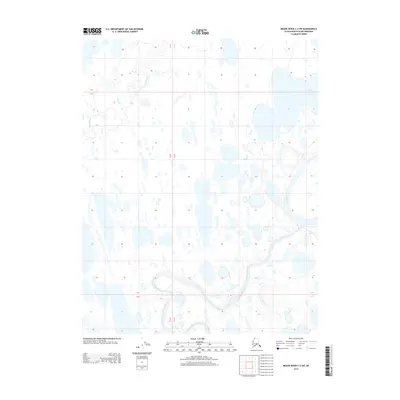
Kucheak Cr meanders across this Arctic landscape within the North Slope Borough, providing a rare topographical marker in an environment dominated by a dense network of oriented thaw lakes. This 2020 USGS survey illustrates the complex hydrology of the region, where countless unnamed water bodies fill shallow depressions in the permafrost. The map is organized by the Public Land Survey System, showing several townships including t15n r24w, t14n r23w, and t13n r24w. These rectangular grid divisions highlight the systematic mapping of this remote territory, where natural drainage patterns like those of Kucheak Cr are the primary features of interest for those studying the physical geography of Northern Alaska.
Find a feature on this map
7 named features on this map. Tap any name to fly to it.
Don’t see what you’re looking for? This feature index may not catch every label — zoom into the map to look around manually.
Map Details
Editions of this 2020 Meade River C-4 SE Map
This is the sole edition of this map. No revisions or reprints were ever made.
Other maps of this area

1951 · Meade River
USGS Topo · 1:250,000

1955 · Meade River
USGS Topo · 1:250,000

1955 · Meade River B-3
USGS Topo · 1:63,360

1955 · Meade River C-3
USGS Topo · 1:63,360

1955 · Meade River B-4
USGS Topo · 1:63,360

1955 · Meade River C-4
USGS Topo · 1:63,360
1962 · Meade River C-4
USGS Topo · 1:50,000
2013 · Meade River B-3 NW
USGS Topo · 1:25,000
2013 · Meade River C-3 NW
USGS Topo · 1:25,000
2013 · Meade River C-3 SW
USGS Topo · 1:25,000