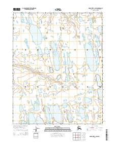
2014 Map of Meade River C-5 SW
USGS Topo · Published 2014About this map
Kungok River meanders across this Arctic landscape, defining the primary drainage pattern for the North Slope's coastal plain. This 2014 survey captures a terrain dominated by thaw lakes and interconnected wetlands, where the river's path is the only named geographic feature among hundreds of unnamed water bodies. The Public Land Survey System (PLSS) grid is meticulously mapped, showing the township and range divisions such as t14n r27w and t15n r27w, which are essential for identifying specific tracts of land in this remote region. The map provides a precise look at the hydrology of the area before modern shifts in permafrost and drainage could further alter the course of the Kungok River.
Find a feature on this map
10 named features on this map. Tap any name to fly to it.
Don’t see what you’re looking for? This feature index may not catch every label — zoom into the map to look around manually.
Map Details
Editions of this 2014 Meade River C-5 SW Map
This is the sole edition of this map. No revisions or reprints were ever made.
Other maps of this area

1951 · Meade River
USGS Topo · 1:250,000

1951 · Wainwright
USGS Topo · 1:250,000

1955 · Wainwright
USGS Topo · 1:250,000

1955 · Wainwright B-1
USGS Topo · 1:63,360

1955 · Meade River
USGS Topo · 1:250,000

1955 · Wainwright C-1
USGS Topo · 1:63,360

1955 · Meade River C-5
USGS Topo · 1:63,360
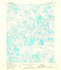
1955 · Meade River B-5
USGS Topo · 1:63,360
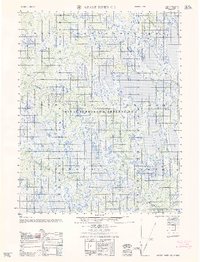
1962 · Meade River C-5
USGS Topo · 1:50,000

1964 · Wainwright
USGS Topo · 1:250,000