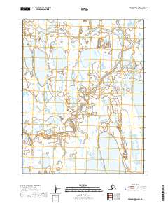
2020 Map of Meade River D-2 SW
USGS Topo · Published 2020About this map
Inaru River meanders through the Arctic tundra of the North Slope, defining the primary drainage pattern of this high-latitude landscape. This 2020 survey documents a region dominated by permafrost-driven geomorphology, where the intricate network of lakes and wetlands is partitioned by the Inaru River and its tributary, Niklavik Cr. The map reveals the characteristic thermokarst topography of the region, where countless unnamed water bodies reflect the seasonal freeze-thaw cycles of the Alaskan far north. Unlike the more developed regions to the south, this area remains defined by its natural watercourses and the Public Land Survey System grid, which provides the only human-imposed structure across the vast stretches of T17N R20W and surrounding townships.
Find a feature on this map
9 named features on this map. Tap any name to fly to it.
Don’t see what you’re looking for? This feature index may not catch every label — zoom into the map to look around manually.
Map Details
Editions of this 2020 Meade River D-2 SW Map
This is the sole edition of this map. No revisions or reprints were ever made.
Other maps of this area

1951 · Meade River
USGS Topo · 1:250,000

1955 · Meade River
USGS Topo · 1:250,000

1955 · Meade River D-2
USGS Topo · 1:63,360

1955 · Meade River C-3
USGS Topo · 1:63,360

1955 · Meade River D-3
USGS Topo · 1:63,360
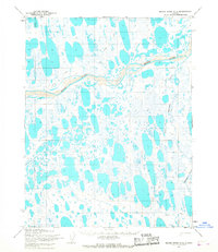
1955 · Meade River C-2
USGS Topo · 1:63,360
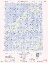
1962 · Meade River D-3
USGS Topo · 1:50,000
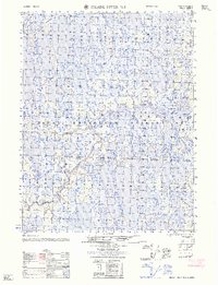
1962 · Meade River D-2
USGS Topo · 1:50,000
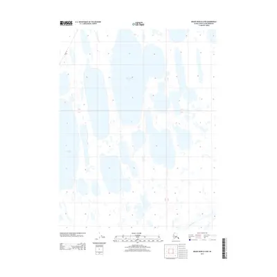
2013 · Meade River D-2 NW
USGS Topo · 1:25,000
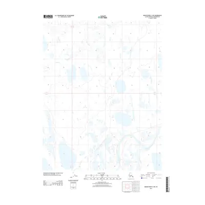
2013 · Meade River C-3 NE
USGS Topo · 1:25,000