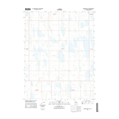
2014 Map of Meade River D-3 SW
USGS Topo · Published 2014About this map
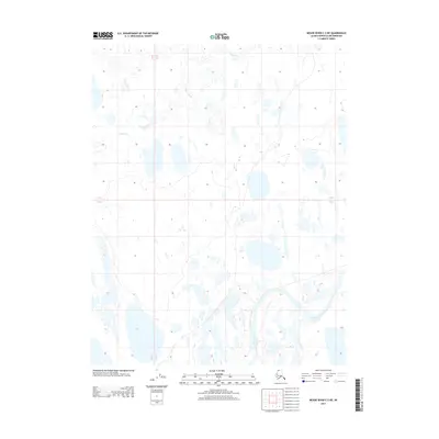
The coastal waters of the Chukchi Sea reach into the northwestern corner of this Arctic landscape, where the terrain is defined by a dense network of thaw lakes and meandering stream systems. The Kikolik Cr flows through the western portion of the quadrangle, while Kikoligaruk Cr and Tuapaktushak Cr snake through the northern tundra, illustrating the complex hydrology of the North Slope. These waterways are central to the landscape, carving through the flat coastal plain and providing vital geographic markers in a region without permanent settlements. This 2014 survey captures the untouched character of the North Slope Borough, documenting the precise alignment of the township and range system across a wilderness largely inaccessible by traditional roads.
Find a feature on this map
11 named features on this map. Tap any name to fly to it.
Don’t see what you’re looking for? This feature index may not catch every label — zoom into the map to look around manually.
Map Details
Editions of this 2014 Meade River D-3 SW Map
This is the sole edition of this map. No revisions or reprints were ever made.
Other maps of this area

1951 · Meade River
USGS Topo · 1:250,000

1955 · Meade River
USGS Topo · 1:250,000

1955 · Meade River C-3
USGS Topo · 1:63,360
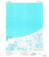
1955 · Meade River D-4
USGS Topo · 1:63,360

1955 · Meade River C-4
USGS Topo · 1:63,360

1955 · Meade River D-3
USGS Topo · 1:63,360
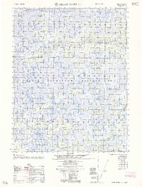
1962 · Meade River C-4
USGS Topo · 1:50,000
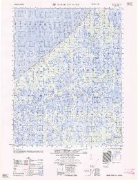
1962 · Meade River D-3
USGS Topo · 1:50,000
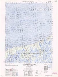
1962 · Meade River D-4
USGS Topo · 1:50,000
2013 · Meade River C-3 NE
USGS Topo · 1:25,000