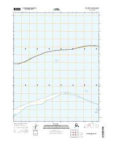
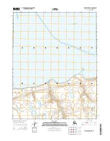
2014 Map of Meade River D-5 NW
USGS Topo · Published 2014About this map
Point Franklin stretches across this Arctic coastline, forming a distinctive geographic divide between the open Chukchi Sea and the sheltered waters of Peard Bay. This 2014 survey documents the fragile interface of the North Slope Borough where the Beaufort coastal plain meets the sea. The map detail highlights the sparse offshore Seahorse Islands and the low-lying coastal terrain characteristic of the northernmost reaches of Alaska. By recording these specific shoreline contours and the positioning of the barrier islands, the map serves as a vital record of the shifting maritime geography of the Arctic before ongoing environmental changes further alter the shape of these remote points and bays.
Find a feature on this map
8 named features on this map. Tap any name to fly to it.
Don’t see what you’re looking for? This feature index may not catch every label — zoom into the map to look around manually.
Map Details
Editions of this 2014 Meade River D-5 NW Map
This is the sole edition of this map. No revisions or reprints were ever made.
Other maps of this area

1951 · Meade River
USGS Topo · 1:250,000

1951 · Wainwright
USGS Topo · 1:250,000

1955 · Wainwright
USGS Topo · 1:250,000

1955 · Meade River
USGS Topo · 1:250,000

1955 · Meade River D-5
USGS Topo · 1:63,360
1955 · Wainwright D-1
USGS Topo · 1:63,360
1962 · Meade River D-5
USGS Topo · 1:50,000

1964 · Wainwright
USGS Topo · 1:250,000
2014 · Meade River D-5 SW
USGS Topo · 1:25,000
2014 · Meade River D-5 SE
USGS Topo · 1:25,000