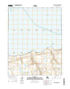
2014 Map of Meade River D-5 SE
USGS Topo · Published 2014About this map
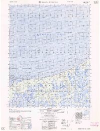
Chukchi Sea dominates the northern half of this coastal landscape, where the Arctic waters meet the low-lying shoreline of the North Slope. The terrain is characterized by the tidal interface at Peard Bay and the prominent coastal landmark of Nalimiut Point, which marks a significant turn in the shoreline. Moving inland, the hydrology transitions to a complex network of tundra ponds and small drainages, most notably Walik Cr, which winds through the southern townships. This 2014 survey by the U.S. Geological Survey provides a precise record of the shoreline and coastal elevations during the early 21st century, showing a landscape defined by its proximity to the sea and the absence of established roads or permanent settlements in this specific coastal sector.
Find a feature on this map
9 named features on this map. Tap any name to fly to it.
Don’t see what you’re looking for? This feature index may not catch every label — zoom into the map to look around manually.
Map Details
Editions of this 2014 Meade River D-5 SE Map
This is the sole edition of this map. No revisions or reprints were ever made.
Other maps of this area

1951 · Meade River
USGS Topo · 1:250,000

1955 · Meade River
USGS Topo · 1:250,000

1955 · Meade River D-5
USGS Topo · 1:63,360

1955 · Meade River C-5
USGS Topo · 1:63,360
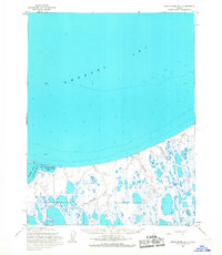
1955 · Meade River D-4
USGS Topo · 1:63,360

1955 · Meade River C-4
USGS Topo · 1:63,360
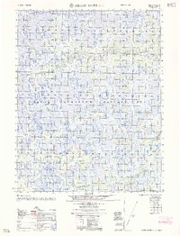
1962 · Meade River C-4
USGS Topo · 1:50,000
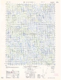
1962 · Meade River C-5
USGS Topo · 1:50,000
1962 · Meade River D-4
USGS Topo · 1:50,000
1962 · Meade River D-5
USGS Topo · 1:50,000