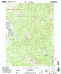
2000 Map of Meaden Peak
USGS Topo · Published 2004About this map
Routt National Forest dominates this landscape, where the upper reaches of the Little Snake River wind through high-elevation terrain. This 2000 revision highlights a remote ranching and recreation landscape defined by landmarks like Meaden Peak and Diamond Peak. The presence of Jolley Ranch and Smith Ranch indicates the long-standing agricultural use of these alpine parks, specifically Slater Park and California Park, which serve as natural clearings within the dense forest.
Find a feature on this map
31 named features on this map. Tap any name to fly to it.
Don’t see what you’re looking for? This feature index may not catch every label — zoom into the map to look around manually.
Map Details
Editions of this 2000 Meaden Peak Map
This is the sole edition of this map. No revisions or reprints were ever made.
Other maps of this area

1911 · Hahns Peak
USGS Topo · 1:125,000

1913 · Hahns Peak
USGS Topo · 1:125,000

1923 · Pilot Knob
USGS Topo · 1:62,500

1925 · Pilot Knob
USGS Topo · 1:62,500

1954 · Craig
USGS Topo · 1:250,000

1957 · Craig
USGS Topo · 1:250,000

1958 · Craig
USGS Topo · 1:250,000

1960 · Craig
USGS Topo · 1:250,000

1962 · Craig
USGS Topo · 1:250,000
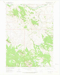
1962 · Tumble Mountain
USGS Topo · 1:24,000