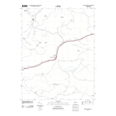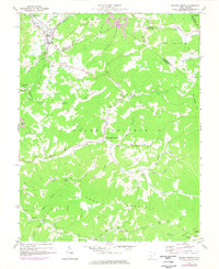
1969 Map of Meadow Bridge
USGS Topo · Published 1977About this map
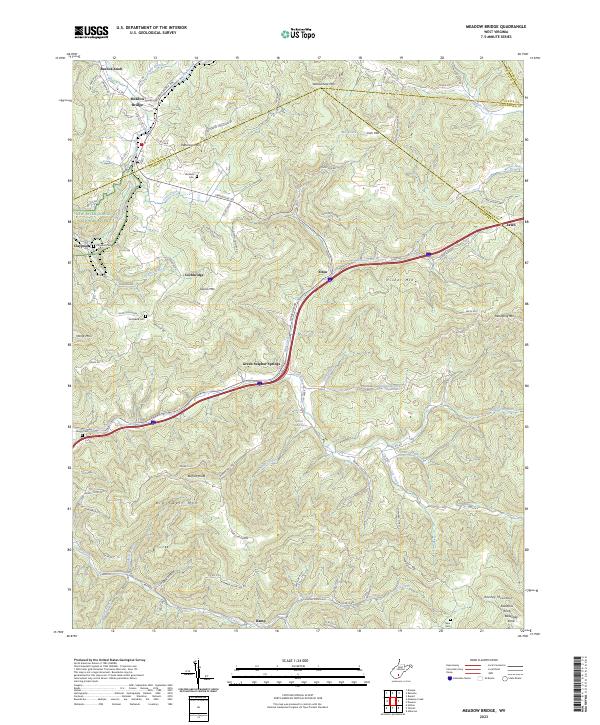
Meadow Bridge and its surroundings are defined by the convergence of Fayette, Greenbrier, and Summers counties in a landscape of high ridges and narrow creek bottoms. The Conrail line follows the winding course of Meadow Creek through the northwest, serving industry centers like Beelick Knob and the local Strip Mines. Beyond the rail corridor, the map reveals a rural West Virginia network of mountaintop settlements and valley churches. Small communities like Green Sulphur Springs and Lockbridge are connected by winding roads that skirt the steep flanks of Wallowhole Mountain and Gwnn Mountain. Evidence of mid-century local culture is visible in features like the Drive-in Theater near Little Meadow Church, while numerous scattered cemeteries and rural institutions like Lively School offer specific points of interest for genealogists and local historians tracking family footprints across these ridges.
Find a feature on this map
59 named features on this map. Tap any name to fly to it.
Don’t see what you’re looking for? This feature index may not catch every label — zoom into the map to look around manually.
Map Details
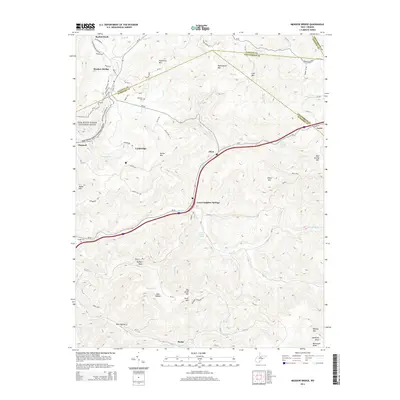
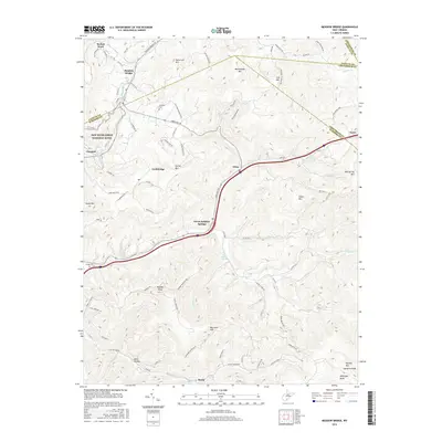
Editions of this 1969 Meadow Bridge Map
3 editions found
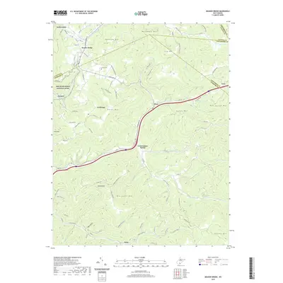
Historical Maps of Meadow Bridge Through Time
6 maps found