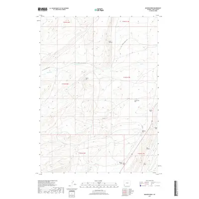
2017 Map of Meadow Draw
USGS Topo · Published 2017About this map
Cumberland Flats and the high ridges of The Hogsback define this high-altitude landscape in Uinta County. This 2017 survey shows a complex network of seasonal drainage systems including Meadow Draw, Haystack Draw, and Wasmer Draw, which intersect with the perennial flows of Clear Creek and Albert Creek. The map documents the modern infrastructure required for local industry and transport, notably the Whitney Canyon Haul Rd and County Road 183, which navigate the steep elevations between Little Hogsback and Round Mountain. At the eastern edge, the terrain narrows at Bridger Gap, a significant geographical point for navigating the high-desert topography of southwestern Wyoming.
Find a feature on this map
22 named features on this map. Tap any name to fly to it.
Don’t see what you’re looking for? This feature index may not catch every label — zoom into the map to look around manually.
Map Details
Editions of this 2017 Meadow Draw Map
This is the sole edition of this map. No revisions or reprints were ever made.
Other maps of this area

1954 · Ogden
USGS Topo · 1:250,000

1958 · Ogden
USGS Topo · 1:250,000

1960 · Ogden
USGS Topo · 1:250,000

1962 · Cumberland Gap
USGS Topo · 1:24,000

1962 · Elkol SW
USGS Topo · 1:24,000

1962 · Bell Butte
USGS Topo · 1:24,000

1965 · Bridger
USGS Topo · 1:24,000

1965 · Ragan
USGS Topo · 1:24,000

1965 · Leroy
USGS Topo · 1:24,000

1965 · Little Dee Creek
USGS Topo · 1:24,000