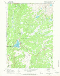
1967 Map of Meadowlark Lake
USGS Topo · Published 1971About this map
Meadowlark Lake and the surrounding high-altitude terrain of the Bighorn National Forest define this 1967 survey. This area serves as a focal point for recreation and forest management, illustrated by the clustering of specialized sites like Meadowlark Lodge, Deer Haven Lodge, and the Meadowlark Ski Area. The presence of the Tyrrell Ranger Station and its adjacent Heliport highlights the administrative infrastructure necessary for overseeing this expansive wilderness.
Find a feature on this map
51 named features on this map. Tap any name to fly to it.
Don’t see what you’re looking for? This feature index may not catch every label — zoom into the map to look around manually.
Map Details
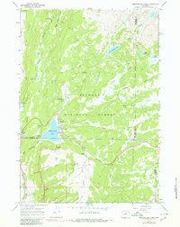
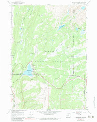
Editions of this 1967 Meadowlark Lake Map
3 editions found
Other maps of this area

1899 · Cloud peak
USGS Topo · 1:125,000

1901 · Cloud Peak
USGS Topo · 1:125,000

1955 · Sheridan
USGS Topo · 1:250,000

1958 · Sheridan
USGS Topo · 1:250,000

1960 · Lake Solitude
USGS Topo · 1:24,000

1962 · Sheridan
USGS Topo · 1:250,000
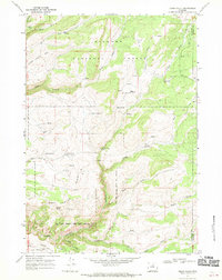
1967 · Onion Gulch
USGS Topo · 1:24,000
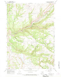
1967 · Old Maid Gulch
USGS Topo · 1:24,000

1967 · Brokenback Narrows
USGS Topo · 1:24,000
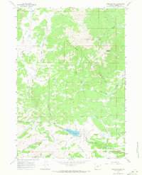
1967 · Hazelton Peak
USGS Topo · 1:24,000