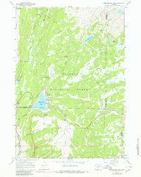
1967 Map of Meadowlark Lake
USGS Topo · Published 1980About this map
Meadowlark Lake serves as the central hub of this mid-1960s recreation landscape, surrounded by a high-altitude network of campgrounds and mountain lodges. The area shows a specialized seasonal economy, featuring the Meadowlark Ski Area with its ski lift and the remote St Christopher in the Bighorn church. Positioned within the Bighorn National Forest, the map captures the transition from vehicular access at Meadowlark Lodge and Deer Haven Lodge to the primitive pack trails leading into the wilderness. Significant landmarks like the Tyrrell Ranger Station and the High Park Lookout reflect the administrative and protective oversight of these uplands. Further north, the landscape is defined by glacial features and alpine parks, including Sitting Bull Park and Deer Park, connected by a web of creeks like West Tensleep Creek and East Tensleep Creek.
Find a feature on this map
50 named features on this map. Tap any name to fly to it.
Don’t see what you’re looking for? This feature index may not catch every label — zoom into the map to look around manually.
Map Details
Editions of this 1967 Meadowlark Lake Map
3 editions found
Other maps of this area

1899 · Cloud peak
USGS Topo · 1:125,000

1901 · Cloud Peak
USGS Topo · 1:125,000

1955 · Sheridan
USGS Topo · 1:250,000

1958 · Sheridan
USGS Topo · 1:250,000

1960 · Lake Solitude
USGS Topo · 1:24,000

1962 · Sheridan
USGS Topo · 1:250,000
1967 · Onion Gulch
USGS Topo · 1:24,000
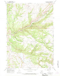
1967 · Old Maid Gulch
USGS Topo · 1:24,000

1967 · Brokenback Narrows
USGS Topo · 1:24,000
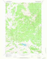
1967 · Hazelton Peak
USGS Topo · 1:24,000