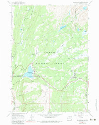
1967 Map of Meadowlark Lake
USGS Topo · Published 1984About this map
Meadowlark Lake serves as the centerpiece of this high-elevation mountain landscape during the late 1960s, situated at the intersection of Big Horn, Washakie, and Johnson Counties. The map reveals a specialized recreational and administrative geography, featuring the Meadowlark Ski Area, Meadowlark Lodge, and the remote St Christopher in the Bighorn church. The terrain is defined by dramatic ridgelines like Bald Ridge and water systems including West Tensleep Creek and East Tensleep Lake. Numerous campgrounds, such as Sitting Bull Campground and Lake View Campground, are connected by a network of jeep and pack trails, illustrating the area's development for backcountry access and seasonal tourism within the Bighorn National Forest. Administrative presence is noted at the Tyrrell Ranger Station, while the High Park Lookout provides a vantage point over the complex drainage patterns of Bull Creek and Leigh Creek.
Find a feature on this map
47 named features on this map. Tap any name to fly to it.
Don’t see what you’re looking for? This feature index may not catch every label — zoom into the map to look around manually.
Map Details
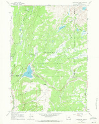
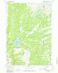
Editions of this 1967 Meadowlark Lake Map
3 editions found
Other maps of this area

1899 · Cloud peak
USGS Topo · 1:125,000

1901 · Cloud Peak
USGS Topo · 1:125,000

1955 · Sheridan
USGS Topo · 1:250,000

1958 · Sheridan
USGS Topo · 1:250,000

1960 · Lake Solitude
USGS Topo · 1:24,000

1962 · Sheridan
USGS Topo · 1:250,000
1967 · Onion Gulch
USGS Topo · 1:24,000
1967 · Old Maid Gulch
USGS Topo · 1:24,000

1967 · Brokenback Narrows
USGS Topo · 1:24,000
1967 · Hazelton Peak
USGS Topo · 1:24,000