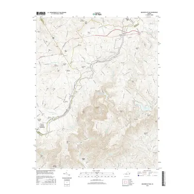
2016 Map of Meadows of Dan
USGS Topo · Published 2016About this map
Mabry Mill stands as a landmark on the Blue Ridge, where the borders of Floyd Co, Patrick Co, and Carroll Co converge. This area of the southern Virginia highlands is defined by a steep transition from the plateau down to the Kibler Valley, through which the Dan River descends. The landscape is dotted with ancestral burial grounds, including the Mayberry Cem and Sollie Alderman Cem, which serve as vital markers for local family histories.
Find a feature on this map
128 named features on this map. Tap any name to fly to it.
Don’t see what you’re looking for? This feature index may not catch every label — zoom into the map to look around manually.
Map Details
Editions of this 2016 Meadows of Dan Map
This is the sole edition of this map. No revisions or reprints were ever made.
Other maps of this area

1889 · Hillsville
USGS Topo · 1:125,000

1892 · Hillsville
USGS Topo · 1:125,000

1896 · Hillsville
USGS Topo · 1:125,000

1928 · Stuart
USGS Topo · 1:48,000

1931 · Stuart
USGS Topo · 1:62,500

1953 · Winston-Salem
USGS Topo · 1:250,000

1955 · Winston-Salem
USGS Topo · 1:250,000

1956 · Macks Mountain
USGS Topo · 1:62,500

1957 · Mount Airy
USGS Topo · 1:62,500

1957 · Floyd
USGS Topo · 1:62,500