Loading...
Loading map...2024 Map of Meadville
USGS Topo · Published 2024About this map
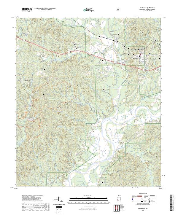
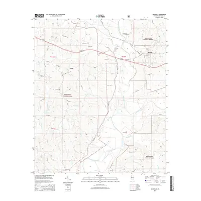
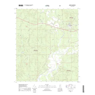
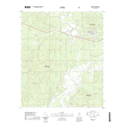
Meadville serves as the focal point of this Mississippi landscape, situated at the junction of Main St and Walnut St just north of the Middle Fork Homochitto River. The town's layout is defined by its proximity to the Homochitto National Forest, which covers a significant portion of the surrounding territory. The terrain is deeply incised by a dense drainage network including the Homochitto River and its numerous tributaries such as Middleton Creek and King Branch.
Find a feature on this map
75 named features on this map. Tap any name to fly to it.
Don’t see what you’re looking for? This feature index may not catch every label — zoom into the map to look around manually.
Map Details
Date Portrayed2024
Date Published2024
PublisherU.S. Geological Survey
Map TypeTopographic
Scale1:24,000
Physical Dimensions24 x 29 inches
Editions of this 2024 Meadville Map
This is the sole edition of this map. No revisions or reprints were ever made.
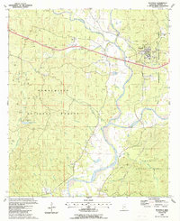
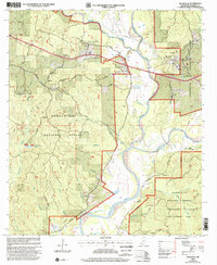
Historical Maps of Meadville Through Time
7 maps found
Featured Locations
Source Details
SourceU.S. Geological Survey
CopyrightPublic Domain