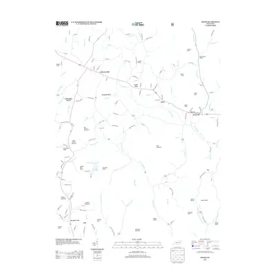
2013 Map of Means
USGS Topo · Published 2013About this map
Jeffersonville and Means anchor this terrain where the Eastern Kentucky coalfields meet the bluegrass region. The landscape is defined by the winding course of Slate Creek and its many tributaries, such as Cooks Br Slate and W Fork Slate Creek. This 2013 survey provides a clear view of local rural infrastructure, from the small settlements of Rebelsville and Lucky Stop to the many family-named cemeteries that speak to the area's deep genealogical roots, including Lovely Cem, Wills Cem, and Gillum Cem. High points like Big Round Mountain and Wildcat Mountain frame the valleys, while localized water features like Sid Calk Lake and Pretty Run break up the ridges. For those tracing historical land use or family sites, the map details numerous hollows and knobs, such as Pottersville Hollow and Kashs Knob, which have likely shaped local movement and settlement for generations.
Find a feature on this map
142 named features on this map. Tap any name to fly to it.
Don’t see what you’re looking for? This feature index may not catch every label — zoom into the map to look around manually.
Map Details
Editions of this 2013 Means Map
This is the sole edition of this map. No revisions or reprints were ever made.
Other maps of this area

1892 · Beattyville
USGS Topo · 1:125,000

1929 · Salt Lick
USGS Topo · 1:62,500

1934 · Salt Lick
USGS Topo · 1:62,500

1950 · Levee
USGS Topo · 1:24,000

1952 · Preston
USGS Topo · 1:24,000

1952 · Clay City
USGS Topo · 1:24,000

1952 · Mount Sterling
USGS Topo · 1:24,000

1952 · Frenchburg
USGS Topo · 1:24,000

1952 · Stanton
USGS Topo · 1:24,000

1952 · Means
USGS Topo · 1:24,000