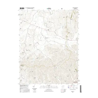
2016 Map of Means
USGS Topo · Published 2016About this map
Jeffersonville and Means anchor this rural landscape where the Cumberland Plateau begins to rise into the Daniel Boone National Forest. Situated along Main St, these communities are defined by a network of winding roads like Science Ridge Rd and Silver Ridge Rd that navigate a dense topography of named knobs and hollows. The map illustrates a transition from the lower settlements of Camargo and Lucky Stop into the higher elevations of the Montgomery and Powell County line. Distinctive geological markers such as Chimney Rocks and Sand Mtn sit amidst family-named landmarks like Kashs Knob, Gibson Hollow, and Pottersville Hollow, reflecting a long history of local settlement. The drainage patterns of Clay Lick and Lower Cane Creek further delineate the complex ridge-and-hollow system that characterizes this portion of Kentucky.
Find a feature on this map
94 named features on this map. Tap any name to fly to it.
Don’t see what you’re looking for? This feature index may not catch every label — zoom into the map to look around manually.
Map Details
Editions of this 2016 Means Map
This is the sole edition of this map. No revisions or reprints were ever made.
Other maps of this area

1892 · Beattyville
USGS Topo · 1:125,000

1929 · Salt Lick
USGS Topo · 1:62,500

1934 · Salt Lick
USGS Topo · 1:62,500

1950 · Levee
USGS Topo · 1:24,000

1952 · Preston
USGS Topo · 1:24,000

1952 · Clay City
USGS Topo · 1:24,000

1952 · Mount Sterling
USGS Topo · 1:24,000

1952 · Frenchburg
USGS Topo · 1:24,000

1952 · Stanton
USGS Topo · 1:24,000

1952 · Means
USGS Topo · 1:24,000