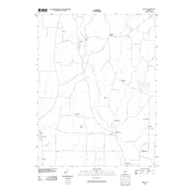
2010 Map of Mecca
USGS Topo · Published 2010About this map
Big Raccoon Creek defines the local topography of Parke County, winding through a landscape notable for its concentration of named crossings. The area preserves a distinct heritage of bridge architecture, including the Roseville Covered Bridge, Harry Evans Covered Bridge, and Thorpe Ford Covered Bridge. Settlements such as Mecca, Coxville, and Jessup are linked by a grid of rural routes like Coxville Rd and Tickridge Rd, while small family or community burial grounds including Orlea Cemetery and Union Cemetery are scattered across the uplands. Near Lyford, the Lyford Dike and Levee Association Ditch indicates a history of managed water systems along the flats. The presence of the Heaton Private Airport near Mount Pleasant Cemetery illustrates the contemporary utility of this rural stretch, even as older landmarks remain the primary orientation points for the region.
Find a feature on this map
64 named features on this map. Tap any name to fly to it.
Don’t see what you’re looking for? This feature index may not catch every label — zoom into the map to look around manually.
Map Details
Editions of this 2010 Mecca Map
This is the sole edition of this map. No revisions or reprints were ever made.
Other maps of this area

1950 · Rosedale
USGS Topo · 1:24,000

1950 · Brazil West
USGS Topo · 1:24,000

1950 · New Goshen
USGS Topo · 1:24,000

1951 · Clinton
USGS Topo · 1:24,000

1951 · Mecca
USGS Topo · 1:24,000

1952 · Catlin
USGS Topo · 1:24,000

1953 · Indianapolis
USGS Topo · 1:250,000

1955 · Rockville
USGS Topo · 1:24,000

1955 · Montezuma
USGS Topo · 1:24,000

1955 · Dana
USGS Topo · 1:24,000