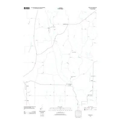
2013 Map of Mecca
USGS Topo · Published 2013About this map
Big Raccoon Cr winds through this Parke County landscape, defining the topography around the settlement of Mecca. This area is characterized by a high concentration of historic crossings over the creek and its tributaries, including the Harry Evans Covered Bridge and the Roseville Covered Bridge near Coxville. The map illustrates a rural network of small communities like Jessup and Bradfield Corner, connected by narrow lanes and county roads. To the south, the terrain includes Little Raccoon Cr and the Thorpe Ford Covered Bridge, while drainage features such as the Cox Number One Ditch and Luford Dike and Levee Association Ditch near Lyford highlight the managed water systems necessary for this lowland environment. Genealogists can trace family connections through these small settlements and named local roads like Mecca Rd and Catline Rd.
Find a feature on this map
31 named features on this map. Tap any name to fly to it.
Don’t see what you’re looking for? This feature index may not catch every label — zoom into the map to look around manually.
Map Details
Editions of this 2013 Mecca Map
This is the sole edition of this map. No revisions or reprints were ever made.
Other maps of this area

1950 · Rosedale
USGS Topo · 1:24,000

1950 · Brazil West
USGS Topo · 1:24,000

1950 · New Goshen
USGS Topo · 1:24,000

1951 · Clinton
USGS Topo · 1:24,000

1951 · Mecca
USGS Topo · 1:24,000

1952 · Catlin
USGS Topo · 1:24,000

1953 · Indianapolis
USGS Topo · 1:250,000

1955 · Rockville
USGS Topo · 1:24,000

1955 · Montezuma
USGS Topo · 1:24,000

1955 · Dana
USGS Topo · 1:24,000