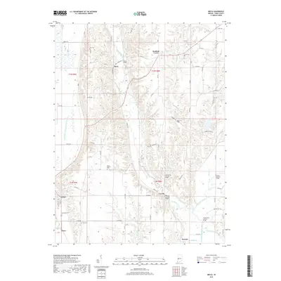
2019 Map of Mecca
USGS Topo · Published 2019About this map
Big Raccoon Creek and its many tributaries, including Rock Run and Little Raccoon Creek, define the landscape of this Parke County region. The settlement of Mecca serves as a central hub, connected to outlying communities like Bradfield Corner and Coxville by a network of rural routes. In the southern portion of the sheet, Rosedale and the small hamlets of Lyford and Numa sit near the lowland drainage systems of the Lyford Dike and Levee Association Ditch. For genealogists, the map is particularly useful for locating several small family and community burial grounds, such as Hixon Cem, Union Cem, and Bound Cem, which are scattered throughout the township sections. The topographic detail highlights the sharp contrast between the elevated ridges and the wide, flat alluvial plains that support the area's agricultural character.
Find a feature on this map
78 named features on this map. Tap any name to fly to it.
Don’t see what you’re looking for? This feature index may not catch every label — zoom into the map to look around manually.
Map Details
Editions of this 2019 Mecca Map
This is the sole edition of this map. No revisions or reprints were ever made.
Other maps of this area

1950 · Rosedale
USGS Topo · 1:24,000

1950 · Brazil West
USGS Topo · 1:24,000

1950 · New Goshen
USGS Topo · 1:24,000

1951 · Clinton
USGS Topo · 1:24,000

1951 · Mecca
USGS Topo · 1:24,000

1952 · Catlin
USGS Topo · 1:24,000

1953 · Indianapolis
USGS Topo · 1:250,000

1955 · Rockville
USGS Topo · 1:24,000

1955 · Montezuma
USGS Topo · 1:24,000

1955 · Dana
USGS Topo · 1:24,000