Loading...
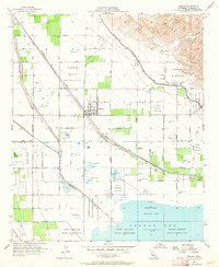
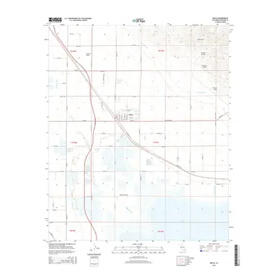
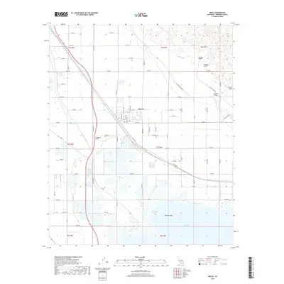
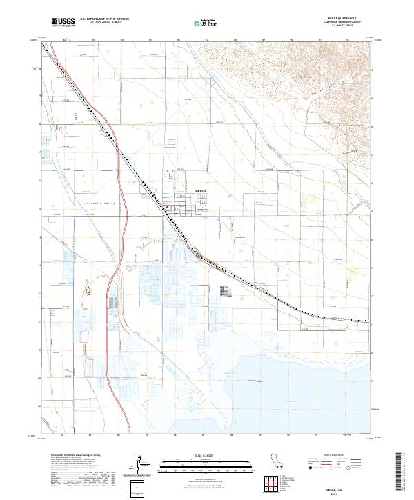
Loading map...1955 Map of Mecca
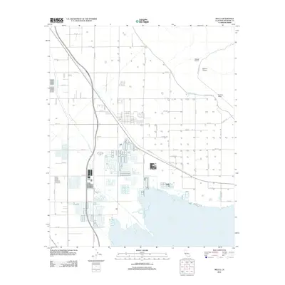
USGS Topo · Published 1964About this map
The settlement of Mecca serves as a focal point for this mid-century desert landscape, situated at the edge of the burgeoning agricultural valley. Large-scale water management infrastructure defines the local geography, with the Coachella Canal and Whitewater River cutting through the terrain to support the extensive grids of desert cultivation. To the south, the northern shoreline of the Salton Sea appears as it was in the mid-1950s, noted at an elevation of 235 feet below sea level.
Find a feature on this map
17 named features on this map. Tap any name to fly to it.
Don’t see what you’re looking for? This feature index may not catch every label — zoom into the map to look around manually.
Map Details
Date Portrayed1955
Date Published1964
PublisherU.S. Geological Survey
Map TypeTopographic
Scale1:24,000
Physical Dimensions22 x 26.8 inches
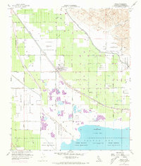
Editions of this 1955 Mecca Map
4 editions found

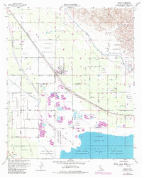
Historical Maps of Mecca Through Time
5 maps found
Featured Locations
Source Details
SourceU.S. Geological Survey
CopyrightPublic Domain