
1955 Map of Mecca
USGS Topo · Published 1957About this map
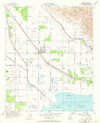
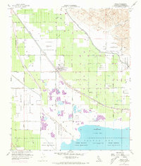
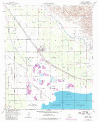
Agricultural development and intricate water management systems define this mid-century desert landscape at the northern edge of the Salton Sea. The settlement of Mecca serves as a hub, positioned along the Southern Pacific railroad and surrounded by a grid of numbered avenues and streets that intersect the arid terrain. The map captures the vital infrastructure of the Coachella Valley, including the Coachella Canal, the Coachella Valley Storm Water Channel, and the winding course of the Whitewater River.
Find a feature on this map
57 named features on this map. Tap any name to fly to it.
Don’t see what you’re looking for? This feature index may not catch every label — zoom into the map to look around manually.
Map Details
Editions of this 1955 Mecca Map
4 editions found
Other maps of this area

1904 · Indio
USGS Topo · 1:125,000

1931 · Vallecito
USGS Topo · 1:125,000

1940 · Cottonwood Spring
USGS Topo · 1:62,500

1940 · Durmid
USGS Topo · 1:62,500

1941 · Coachella
USGS Topo · 1:62,500

1942 · Agua Dulce
USGS Topo · 1:62,500

1943 · Vallecito
USGS Topo · 1:125,000

1943 · Coachella
USGS Topo · 1:62,500

1944 · Agua Dulce
USGS Topo · 1:62,500

1944 · Cottonwood Spring
USGS Topo · 1:62,500