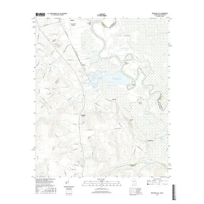
2017 Map of Mechanic Hill
USGS Topo · Published 2017About this map
Augusta Regional Airport at Bush Field and the industrial corridors south of Augusta define the western portion of this 2017 landscape, where the heavy infrastructure of Wastewater Treatment Pond Number Five and other facilities meet the transition to the Savannah River bottomlands. The river itself serves as the state line between Georgia and South Carolina, meandering past New Savannah Bluff and numerous oxbow features like Hardens Dead River and Horseshoe Lake.
Find a feature on this map
100 named features on this map. Tap any name to fly to it.
Don’t see what you’re looking for? This feature index may not catch every label — zoom into the map to look around manually.
Map Details
Editions of this 2017 Mechanic Hill Map
This is the sole edition of this map. No revisions or reprints were ever made.
Other maps of this area
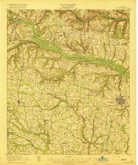
1919 · Gough
USGS Topo · 1:62,500
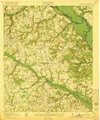
1920 · Greens Cut
USGS Topo · 1:62,500

1921 · Augusta
USGS Topo · 1:62,500
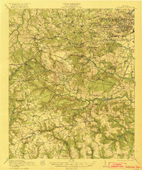
1922 · Hephzibah
USGS Topo · 1:62,500
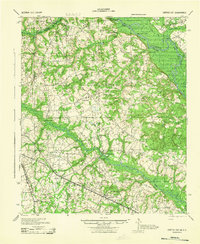
1943 · Greens Cut
USGS Topo · 1:62,500
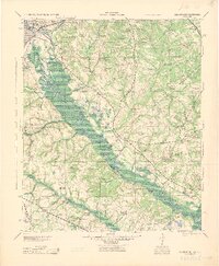
1943 · Augusta East
USGS Topo · 1:125,000
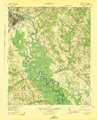
1943 · Augusta
USGS Topo · 1:62,500
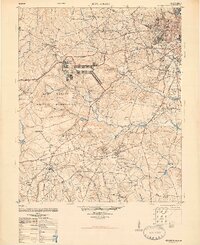
1948 · Hephzibah
USGS Topo · 1:62,500
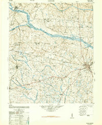
1948 · Gough
USGS Topo · 1:62,500
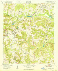
1950 · Hephzibah
USGS Topo · 1:24,000