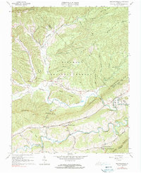
1965 Map of Mechanicsburg
USGS Topo · Published 1990About this map
Mechanicsburg and Crandon anchor the southern valleys of this 1965 survey, where the rural character of Bland County is defined by the ridge-and-valley system of the Jefferson National Forest. The landscape is dominated by the massive parallel heights of Walker Mountain and Brushy Mountain, which separate the agricultural stretches along Walker Creek from more remote northern hollows. A significant section of the Appalachian Trail winds through these summits, passing natural landmarks like the Falls of Dismal on Dismal Creek. The map provides a look at local community hubs, including Wessendonck Ch and Shiloh Ch, alongside state infrastructure like the State Correctional Farm near the Giles and Bland County line. Diverse terrain features, from the heights of Flat Top to the depths of Skydusky Hollow, illustrate the complex drainage patterns feeding into Kimberling Creek.
Find a feature on this map
58 named features on this map. Tap any name to fly to it.
Don’t see what you’re looking for? This feature index may not catch every label — zoom into the map to look around manually.
Map Details
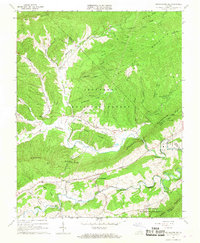
Editions of this 1965 Mechanicsburg Map
2 editions found
Other maps of this area

1887 · Pocahontas
USGS Topo · 1:125,000

1890 · Dublin
USGS Topo · 1:125,000

1891 · Pocahontas
USGS Topo · 1:125,000

1891 · Dublin
USGS Topo · 1:125,000

1894 · Pocahontas
USGS Topo · 1:125,000

1895 · Pocahontas
USGS Topo · 1:125,000

1913 · Peterstown
USGS Topo · 1:48,000

1913 · Bluefield
USGS Topo · 1:48,000

1916 · Bluefield
USGS Topo · 1:62,500

1916 · Peterstown
USGS Topo · 1:62,500